


Project updated: 15/05/2017
Print this page
Central City Transport Projects


What
These transport projects are part of the An Accessible City programme of improvements to the travel network in the central city.
They support the economic, social and environmental regeneration of the city centre by making it more compact and safer and easier to get around – for any form of transport.
Streets have been prioritised for different forms of transport to provide safer and more efficient ways for motorists, pedestrians, cyclists and public transport users to move around.
The new design of the streets balance the needs and choices of more people moving around the central city. An Accessible City plans for:
- future road layouts
- pedestrians, cyclists, public transport and private vehicle users
- slower speed zones in some parts of the central city
- better public spaces
- parking.
Where
Why
The Christchurch Central Recovery Plan points to the need for more accessible rebuilt central city public spaces, buildings and facilities. These transport projects provide a travel network that meets the current and future needs of all inner city travellers whether they're on foot, on a bike, in a wheelchair, car or bus.
How
Ōtākaro delivered An Accessible City transport projects that border Anchor Projects it is delivering.
Status
Work is complete on all of the projects. The last project, the new bus stops on Tuam Street outside the Outpatients Building, was completed in October 2019.
Who else is involved?
Ōtākaro is responsible for four projects as part of the An Accessible City project. The remaining developments are being managed by Christchurch City Council (CCC).
Downer has constructed three of these projects on behalf of CCC and Ōtākaro and the other organisations involved: Environment Canterbury, Ngai Tahu, and New Zealand Transport Agency.
Engagement
These road layout changes have been developed through a process of consultation that began in 2011 with the 'Share an Idea' campaign. Then there was consultation on the An Accessible City chapter of the Central Christchurch Recovery Plan and each individual project, as required by the Local Government Act.
More Information
-
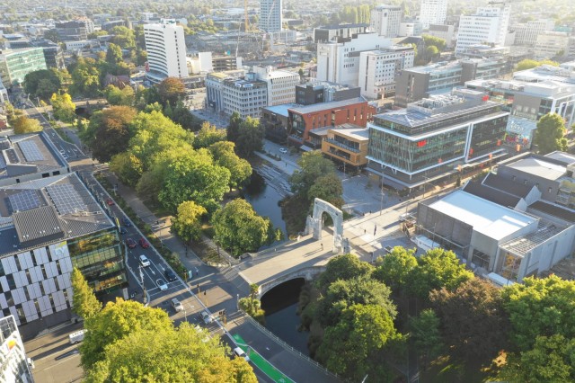
Armagh and Colombo Streets
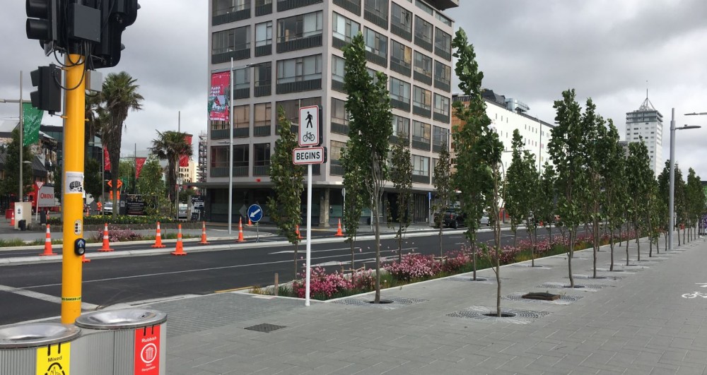
The sections of Armagh and Colombo Streets adjacent to Victoria Square have been developed with stone paving, additional crossings, trees and other landscaping. The street in these blocks are now narrowed to slow traffic and give more space for pedestrians and cyclists.
-
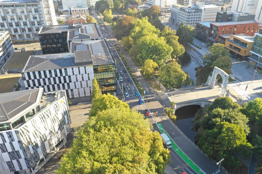
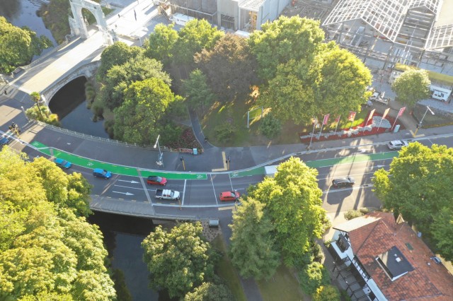
Manchester Street
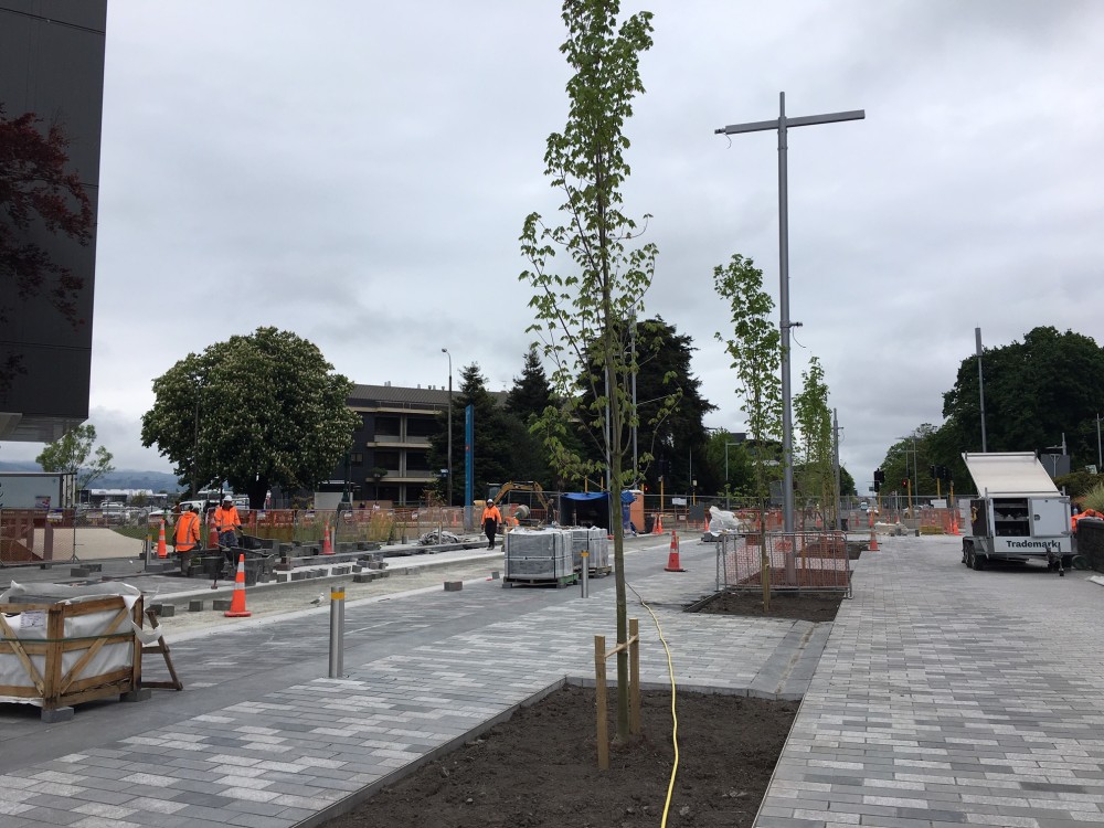
This section of Manchester Street has been turned into a widened, tree-lined boulevard next to the East Frame residential development.
The existing street has been widened by 9 metres to provide a broad, shared pavement for pedestrians and cyclists, along with room for cars and buses.
Manchester Street is designed to be the main north/south public transport route through the central city. To make the public transport system as efficient as possible, there are two bus 'super stops', one on either side of the street. Each super stop has mid-block traffic lights to ensure buses have priority over general traffic movements. General traffic turning movement is also restricted at some intersections.
Trees, landscaping and rain gardens (gardens which capture and filter stormwater run-off from the street) are other features of the redesigned street.
-
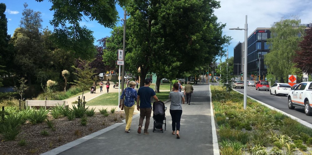
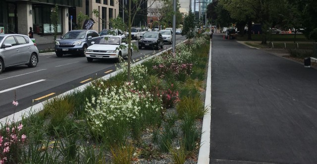
Durham Street and Cambridge Terrace
This main southbound one-way road corridor on the western side of the central city has been enhanced with landscaping and improved traffic flow.
It has two lanes of southbound traffic, on-street parking on its west side and a shared path for cyclists and pedestrians on its east side next to the Ōtākaro/Avon River. A new northbound traffic lane has been built to link traffic from the one-way system on Tuam Street to the Retail Precinct and car parking buildings on Lichfield Street.
Trees, landscaping and rain gardens will improve the streetscape and suit the slower speed environment of the central city's inner core.
-
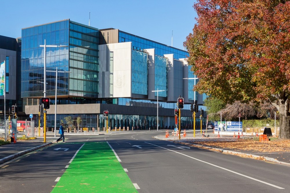
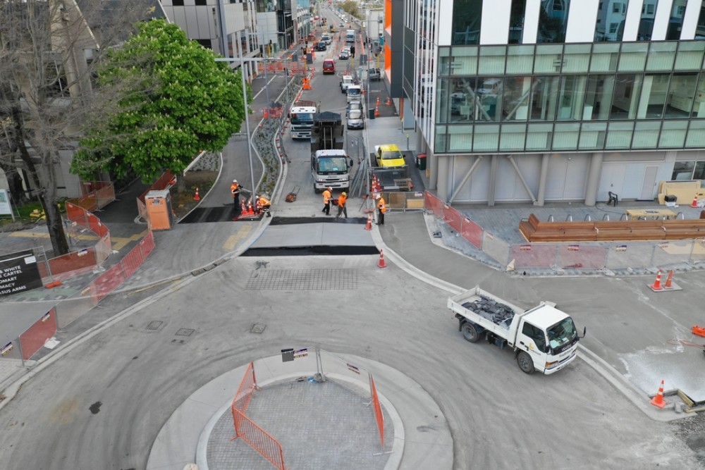
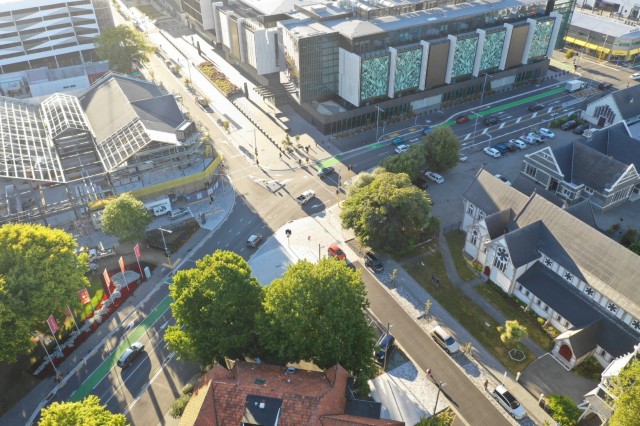
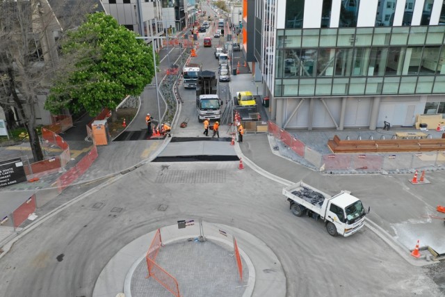
Hospital Corner
This is the second and final stage of the changes to the road layout conversions around Christchurch hospital. The changes will improve traffic flow and provide better cycle and pedestrian access to the city. The streetscape will be improved with additional trees and landscaping.
The project is adjacent to Christchurch hospital, the Health Precinct, the Metro Sports Facility, Te Papa Ōtākaro / Avon River Precinct and the South Frame. These works have been timed and coordinated carefully with other stakeholders in the area with the aim of supporting all development needs and minimising disruption.
Some work, including the section of Tuam Street between Hagley Avenue and Antigua Street, was delayed to suit the needs of adjacent landowners and developments.